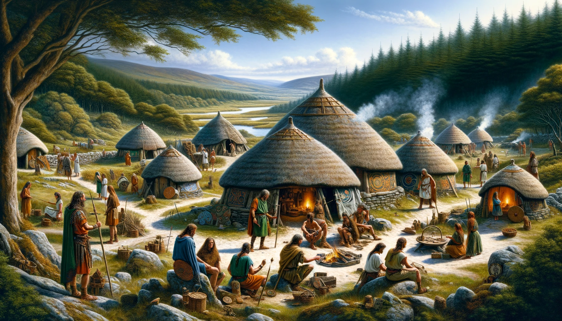
The Selgovae were an Iron Age Celtic people who occupied much of the territory between southern Scotland to the modern county of Northumberland.
The Realm of the Selgovae according to Ptolemy
“Below¹ [the Novantae] are the Selgovae, among whom are the following towns: Carbantorigum 19*00 59°30 Uxellum 18*30 59°20 Corda 20*00 59°40 Trimontium 19*00 59°00″.
Geographia of Ptolemy (II.ii)
- By this, Ptolemy actually means ‘to the east (of)’.
The principal literary source for the name of this tribe is the 2nd-century geographer Claudius Ptolemaeus, who also names four population centres, the neighbouring tribes and a couple of geographical features, all of which help to delineate the tribal territories of the Selgovae.
- Their territories were bounded on the north by the Bodotria Aestuarium, the Firth of Forth.
- Their neighbours to the north and east were the Votadini.
- They were bounded on the south-west by the Ituna Aestuarium, the Solway Firth.
- Their neighbours to the south-east were the powerful Brigantes.
- Their neighbours to the south were the Carvetii .
- Their neighbours to the south-west were the Novantae.
- Their neighbours to the north-west were the Damnoni.
Given this information we may deduce that the Selgovae tribe inhabited north-western Northumberland, central and eastern Borders, comprising the ancient counties of Roxburgh, Selkirk and Peebles, also eastern Dumfriesshire and south-eastern Strathclyde (Lanark). Their territories therefore encompassed much of the Southern Upland region of Scotland, stretching from Liddesdale in the Kielder Forest, north-westwards along Eskdale and over the tall peaks of Broad Law to the Moorfoot and Pentland Hills just south of modern Edinburgh. Almost all of this land lies above 200m, the underlying rocks in the southern part being of carboniferous limestone from the Upper Palaeozoic, with Silurian and Ordovician rocks of the Lower Palaeozoic in the north. The rough, hilly topography is clad in a thin, poor soil suitable for the grazing of cattle and sheep, but little else, with much of the tribe’s southern territories nowadays being occupied by the Forests of Redesdale Kielder, Moffat and Kraik (among others). This would seem to indicate that the tribe led a chiefly pastoral existence, perhaps spending the winter and early-spring in the south, migrating northwards to spend the Summer and early-Autumn months.
The Civitas Selgovarum The Principal Tribal Centre
Trimontivm (Newstead, Borders)
Of the four towns listed by Ptolemy, only the last, Trimontium may be readily identified, its Latin name being easily translated as ‘[the place of] the three mountains’, a topographical place-name easily equated with the situation of the longstanding military depot and associated civil settlement at Newstead east of Melrose, which is overlooked from the south-west by the the three Eildon Hills and its iron-age fort.
Eildon Hill North – The pre-Roman Cantonal Capital
The large 40 acre (16ha) bivallate hillfort on Eildon Hill North, overlooking the later Roman complex of Trimontium, just east of Melrose, is thought to represent ‘the opiddum of the Selgovae‘, in other words, the tribe’s pre-Roman capital. The fort was abandoned in A.D. 79 in face of the Roman advance through the area under the irrepressible governor Gnaeus Julius Agricola, who erected a small wooden watch-tower or signal-station at the fort’s western end and founded the first military encampment at Newstead at the north-eastern foot of the hill. Traces of over three-thousand hut platforms have been recorded within the fort’s defences, not all of which were occupied at the same time, leading experts to estimate a population somewhere between two and three thousand people during its heyday.
The Other Tribal Πολεις (Poleis or Settlements) Assigned by Ptolemy
- Carbantorigum
- Uxellum
- Corda
The locations of all three of these settlements remain unknown or unproven at the current time but it is quite likely that one or more of them may be found amongst the sites listed below.
Other Selgovae Strongholds
Cademuir Hill south-west of Peebles in Border region has a couple of hillforts upon its summit ridge. The largest of these (NT230375) housed 40 or so timber-framed buildings within its interior, and was seemingly abandoned in the face of the Roman advance around A.D. 80, never to be reoccupied. The smaller fort (NT225371), occupying a less advantageous position along the ridge, was protected by a chevaux de frise of large upright stones in the eastern part of its defensive circuit, and, although never excavated, very likely belongs to a much earlier period, perhaps the late-Bronze/early-Iron Age, when these types of defensive structures were most prevalent; the move to the larger fort being made when population pressure dictated.
Another hillfort within the territories of the Selgovae to sport chevaux de frise defences commanded the important Biggar Gap communication route between the Upper Tweed and Clyde valleys. The Dreva Craig hillfort (NT126354), lying just south-east of Broughton in northern Borders region, has massive stone-rubble walls enclosing an ovular area. The original defended enclosure, like the smaller of the two forts at Cademuir Hill, probably dates to the early Iron-Age, and the traces of later-period round-houses within its interior possibly belong to the LPRIA, while the settlement on the hillside to the north-east of the fort which re-used many of the upright stones from the early defences, may belong to the Romano-British period. The fort remains unexcavated, so this chronology is supposition only.
The univallate defences of the Rubers Law hillfort (NT580155) east of Hawick in Borders originally enclosed an area of about 7 acres (c.2.8 ha), but a second structural phase containing re-used Roman stones, probably robbed from a 1st-Century signal station, enclosed only a small area around the summit of the hill.
However, not all evidence of occupation in the territories of the Selgovae comes in the shape of hillforts. At Tamshiel Rigg (NT643062) to the south-east of Hawick a bivallate Iron-Age enclosure was superceeded by a later (Romano-British?) walled settlement with an associated, D-shaped, enclosed field system of around 32 acres (c.13 ha).
The Whiteside Hill hillfort (NT168461) south-east of Romannobridge in Borders region has tremendous views along the valley of the Lyne Water. This fort underwent several stages of construction and expansion, followed by a final phase greatly reducing its size, which may belong to the early Roman period, just prior to the siting of the first Roman fort in the area at Easter Happrew.
The two-phase hillfort at Northshield Rings (NT257494) north of Eddleston dominates the valley of Eddleston Water in Borders. This fort lies within the territories of the Selgovae and, although assigned by historians to the Iron-Age, its exact chronology remains unknown.
The hillfort on Arbory Hill (NS945238) near Abington in Clydesdale, Strathclyde, lies on a promontory overlooking the Upper Clyde and the Roman road. Its stone-walled enclosure protected by bivallate defences contains traces of timber-framed houses, and a rectangular stone foundation perhaps points to it being used during Romano-British times.
The Bodsberry Hill hillfort (NS963169) south of Crawford in Strathclyde dominates the approaches to the Dalveen Pass. The Roman military road through the area passes by the foot of the hill to the south-west, and it is reasonable to assume that while this was in use, the hillfort was not inhabited. The chronology of the fort is unknown.
The hillfort at Cow Castle (NT042331) near Coulter in Clydesdale enclosed the south-west end of a ridge with a D-shaped rampart and ditch; a smaller D-shaped enclosure was built within the main enclosure at a later date. There is another (later?) unenclosed settlement at the opposite (north-eastern) end of the same ridge. Again, the chronology of this site is uncertain, but the different building phases points to a considerable occupation period, perhaps including Romano-British times.
The Iron-Age fort (NS952219) and nearby settlement (NS945216) at Crawford in Strathclyde are both undated, but their close proximity to one another points to their not being contemporary. The advent of the nearby Roman fort at Crawford (?) would certainly have caused the abandonment of the earlier defended enclosure but there is no evidence to show that any of these sites were in use at the same time.
The Quothquan Law hillfort (NS988385) near Thankerton in Strathclyde is sited in a bend of the Upper Clyde. A later annexe contains the foundations of a number of timber-framed houses. Its chronology remains unknown.
Roman Military Sites in Selgovae Tribal Territory
The territories of the tribe are effectively encapsulated by Roman military roads, including a forty-mile stretch of Hadrian’s Wall between Stanwix (Uxelodunum) in the west and Halton Chesters (Onnum) in the east which delineated the southern limits of the tribe. Indeed, this mighty military barrier may have cut through and annexed the southernmost tip of the traditional tribal lands.
In the east, a Roman military road strikes north over the Wall from Corbridge (Corstopitum) then north-north-westward through High Rochester, both of which are within the territories of the neighbouring Votadini tribe, but the road passed into Selgovae lands somewhere between here and Newstead; perhaps the military complexes at either Chew Green or Cappuck was situated so as to police this intertribal border.
In the west, another military road strikes north through the Wall from Carlisle (Luguvalium) then north-westward to the Burnswark military complex in Annandale, where a substantial contingent of British ‘die hards’ were surrounded with typical Roman military efficiency and put to the sword very thoroughly. At Torwood, this road throws out a branch northwards past Tassiesholm to the pass between the Lowther Hills and Broad Law at Crawford, the road originally ran west from Torwood turning north-west at Gallaberry then along Nithsdale to Drumlanrig, thence approaching Crawford from the south-west. From here the road strikes north-east to meet up with the eastern military highway at Inveresk on the Firth of Forth.
The Northern Outpost Forts of Hadrian’s Wall
These three forts, respectively Birrens in Dumfriesshire, Netherby in Cumbria and Bewcastle in Cumbria, are all located a half-day’s march north of the Hadrianic frontier. It would seem likely that these forts were so sited as to provide the Wall and the civilized province beyond with advance warning of movement through the southern Selgovian territories; by the Selgovae themselves or by far-ranging warbands of other tribes.
References for The Selgovae
- Life in Roman Britain by Anthony Birley (Batsford, London, 1964);
- Britannia – A History of Roman Britain by Sheppard Sunderland Frere (BCA, London, 1974);
- Roman Britain by Peter Salway (BCA, London, 1981);
- Iron Age Communities in Britain by Barry Cunliffe (Routledge & Kegan Paul, London/Boston, 1974);