Literary References
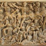
Classical References for Roman History
We can use the following sources for references to the Roman history:
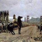
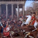
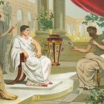
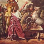
Gaius Suetonius Tranquillus
- British References in The Twelve Caesars
- The Life of Julius Caesar
- The Life of Augustus
- The Life of Tiberius
- The Life of Caligula
- The Life of Claudius
- The Life of Nero
- The Life of Galba
- The Life of Otho
- The Life of Vitellius
- The Life of Vespasian
- The Life of Titus
- The Life of Domitian
Gaius Cornelius Tacitus
- British References in The Annals of Imperial Rome
- The Annals of Imperial Rome – Full Text
- British References in The Histories
- The Histories – Full Text
- British References in The Agricola
- The Agricola – Full Text
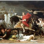
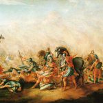
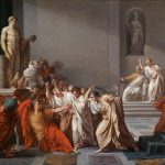
Gaius Julius Caesar
- The Gallic Wars – Full Text
- The Gallic Wars – Book IV
- The Gallic Wars – Book V
- Aulus Hirtius? – The Civil War (49 BC)
- The Alexandrian War (48 BC)
- The African War (46 BC)
- The Spanish War (45 BC)
Titus Flavius Josephus
Plutarch
- Plutarch’s – Plutarch’s Lives – Volume 1
- Plutarch’s – Plutarch’s Lives – Volume 2
- Plutarch’s – Plutarch’s Lives – Volume 3
- Plutarch’s – Plutarch’s Lives – Volume 4
- Plutarch’s – Plutarch’s Lives – Volume 5
- Plutarch, Caesar
Other Authors
- Marcus Annaeus Lucanus – Pharsalia – ‘The Grove of the Druids’
- Eutropius – Summary of Roman History
- Florus – The Epitome of Roman History.
- Historia Augusta – Hadrian, Antoninus Pius and Septimius Severus
- Cassius Dio Cocceianus – The Histories of Rome
- Publius Papinius Statius, Silvae – About Governor Marcus Vettius Bolanus
Classical Sources for the Roman Military
- Titus Livius (Livy), The History of Rome
- Polibius – The Histories (264–146 BC)
- Vegetius – The Military Institutions of the Romans (De Re Militari)
- Arrian of Nicomedia – Order of battle against the Alans
- De Munitionibus Castrorum – Pseudo-Hyginus
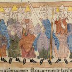
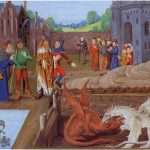
Welsh Medieval Literature
Welsh medieval literature, rich in myth and legend, offers a unique window into the history and culture of Wales during the transition from Roman Britain to the Post-Roman Britain or the Dark Ages. Welsh medieval literature, notably preserved in manuscripts like the “Mabinogion,” contains some of the earliest prose literature in Britain. These tales, infused with Celtic mythology and folklore, provide invaluable insights into Welsh culture, societal norms, and belief systems of the time.
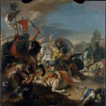
Classical References regarding the Geography of Britain
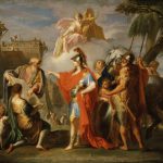
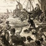
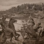
To the Romans, Britannia was a mysterious island lying beyond Oceanus, the great river described by Homer as encircling the entire inhabited world. Britain was therefore seen as a land beyond the limits of civilisation. Britannia was first brought to the attention of the Roman people by the campaigns of Julius Caesar in 55 and 54 BC, but was not proven to be an island until the early eighties A.D., when the governor Gnaeus Julius Agricola sent an exploratory naval expedition around the north coast of Scotland. This section describes Britannia as the Romans knew it, utilizing the British sections from the main classical geographies.
- Classical Geographia (c.1st century AD ): Classical references to the Insulae Britanniarum, including the works of Caesar, Livy, Pliny, and many more of the most learned geographers of the Roman era.
- Strabo, Geography References to Britain made by Strabo, who was a Greek geographer, philosopher, and historian who lived in Asia Minor during the transitional period of the Roman Republic into the Roman Empire.
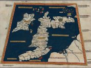
- Ptolemy’s Geography (c. AD 140): The first two chapters of Book II deal with the British Isles; Hibernia (Ireland) in chapter 1, and Albion (Mainland Britain) in chapter 2.
- Antonine Itinerary (c. AD 220): A list of fifteen routes throughout the Roman province of Britannia, with several repetitions and several notable omissions.
- Notitia Dignitatum (c. AD 395-430): A late Imperial administrative document is the unique historical source for the Saxon Shore Forts, a network of coastal defenses built around southeast Britain in the 3rd and 4th centuries AD.
- Ravenna Cosmography (c.7th century AD ): A list of Roman posting-stations, forts and towns, compiled by an unknown monk from Ravenna on the Adriatic coast of Italy.
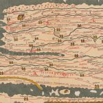
- Peutinger Table (c.11th century AD ): This Roman map was cut into several pieces sometime during the Middle-Ages, a surviving portion of which shows a few towns in south-east England.
- Nennius’ Cities (9th century?): Nennius was a monk and contemporary of Bede? who wrote his Historia Brittonum in the 9th century, wherein is contained a list of 33 ‘British Towns’.
Epigraphic Resources of Roman Britain
Epigraphy is the study of inscriptions, or epigraphs, as writing. The following are a list of Epigraphic resources for investigating Roman Britain:
- The Principal Roman Coin Denominations
- Roman Coinage Mentioning or Minted in Britain
- Military Diplomata – Naming British Garrison Units
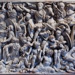
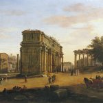
- Triumphal Arch of Emperor Claudius
- For a complete list of Roman inscriptions in Britain, including the The Vindolanda Writing Tablets see https://romaninscriptionsofbritain.org/


